Book illustrations: How China looses
My roles
Skills & methods
Project summary
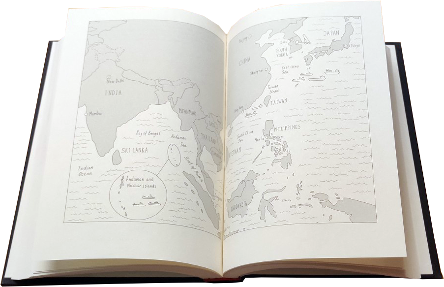
I illustrated the political science book “How China looses”, published at Oxford University Press in 2021.
The goal was to create illustrative maps for each chapter to help readers situate themselves visually within the content of each chapter. The maps covered different regions in the world and aimed to be informative and playful at the same time.
I created the maps by first gathering the most relevant information together with the author. Then I created mockups in Figma and drew all illustrations by hand, using a Wacom tablet and Adobe Illustrator.

